Most Important Facts
- Location: trailhead 7 km south of Haines Junction on the Haines Highway
- Distance: 15 km return trip (loop)
- Elevation gain: 400 m, maximum elevation 1159 m
- Hours needed: 3.5 to 4 hours
- Infrastructure: marked trail, rudimentary campsite in the middle of the trail with one outhouse and firepit
- Costs: no fee or permit needed for a day hike
- Planning: ask for wildlife and weather conditions at the Kluane National Park and Reserve Visitor Centre, Haines Junction
- Useful links:
Our Packing List
- Light day backpack
- Water bottle
- Snickers
- Cashew nuts
- Bear spray and bear bell
- Sun cream, sun hat and sun glasses
- Rain jacket
What we wished we brought
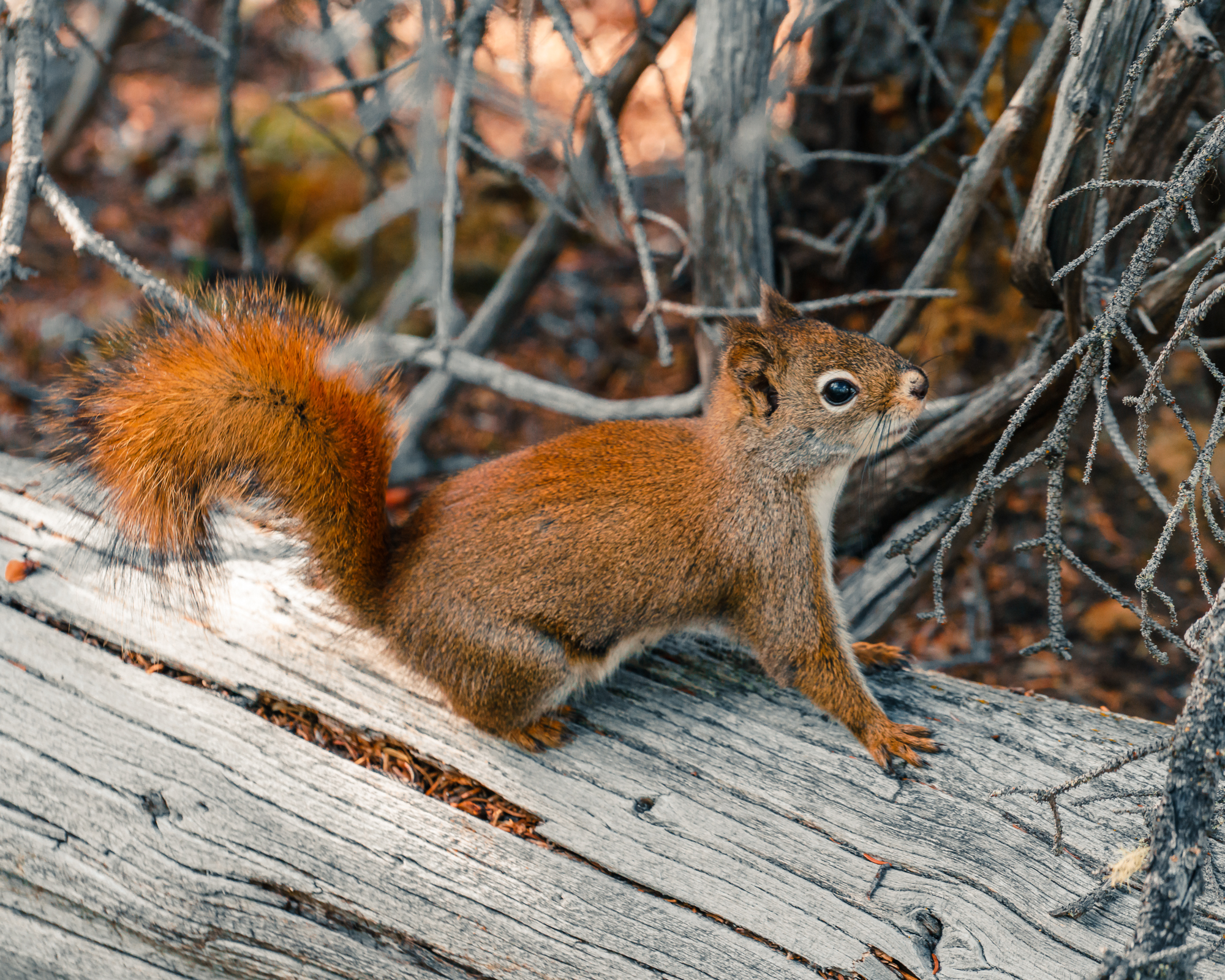
- Binoculars (we don’t have any, but it would have been nice to observe Dall sheep on the mountain ridges and other wildlife)
Our Way of Hiking the Auriol Trail
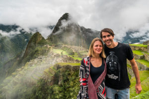
Date of hike: June 7th 2018 – We started the hike quite late in the day, around 3.30 pm. As the summer days here on the 61st latitude are incredibly long, we did not have to worry about sunset. After some long driving days, we were happy to have reached the Kluane National Park and Reserve during a good weather window – eager to enjoy the beautiful sub-alpine surroundings.
Before we started this hike, we talked to the rangers at the Kluane National Park and Reserve Visitor Centre in Haines Junction. We wanted to check if the trail is free of snow and also, wanted to know how many grizzly bears were currently spotted along the trail. This information helped us to get a feeling of the risks we were taking and how observant we need to be during our hike.
The trail itself is well marked and easy to hike. From the trailhead the footpath crosses an open meadow and soon enters the woods. In the first two kilometers, the trail climbs up gradually and then reaches the start of the trail loop. We entered the loop on the left path, as here the climb up to the highest point is more gradual. Starting from the right, we would have been hiking more directly (and steeper) to the highest point.
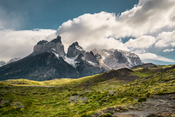
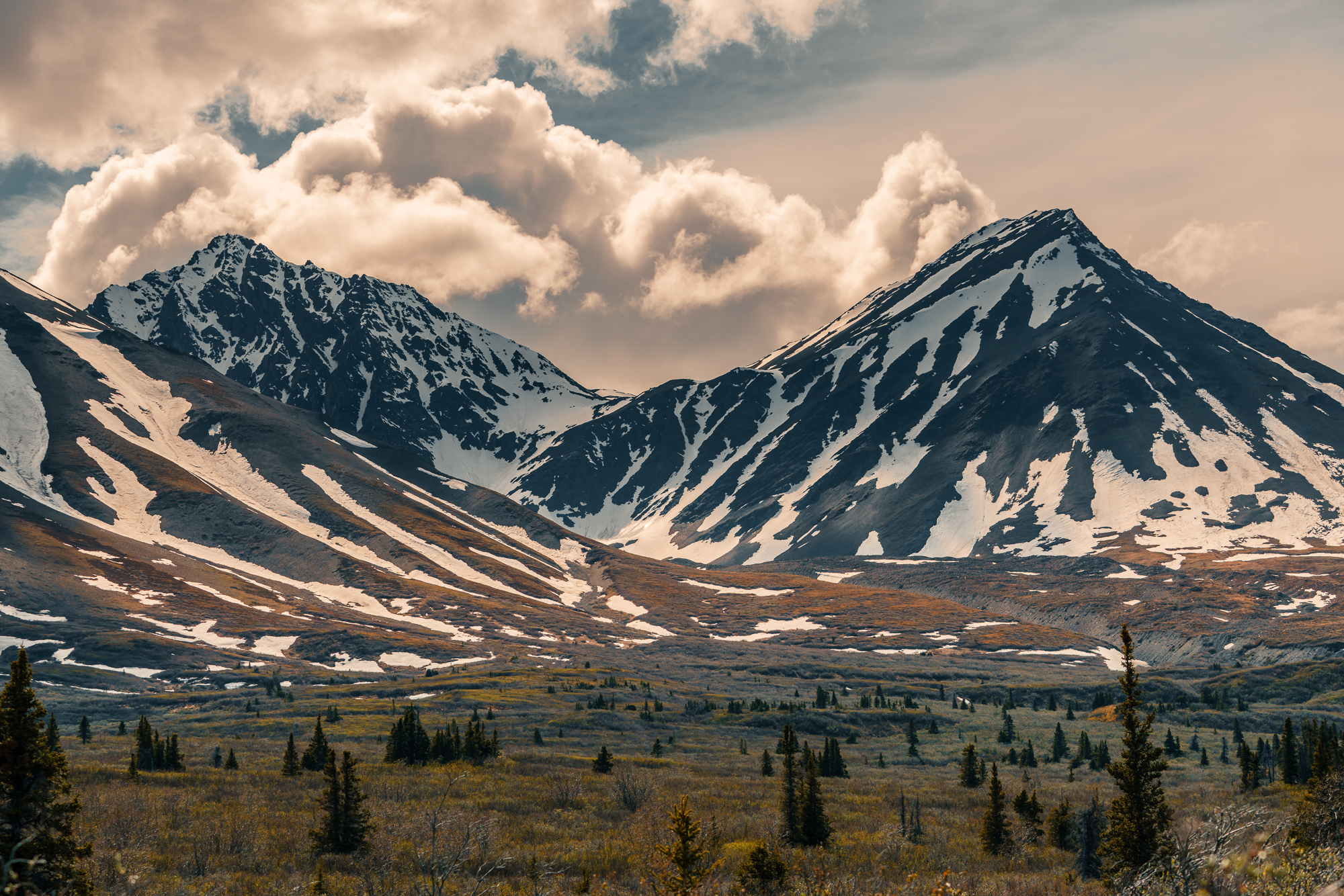
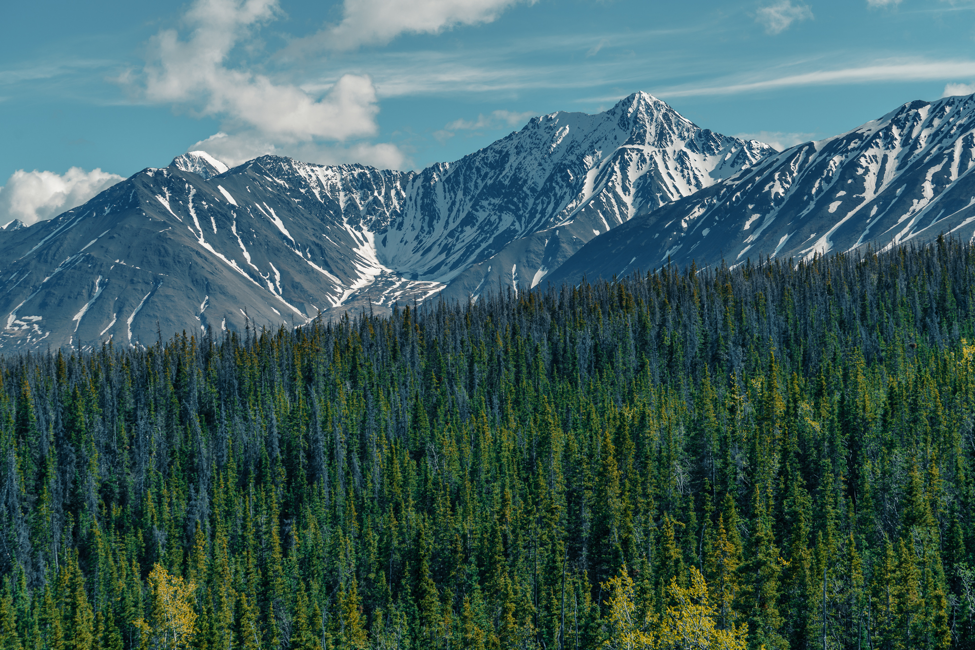
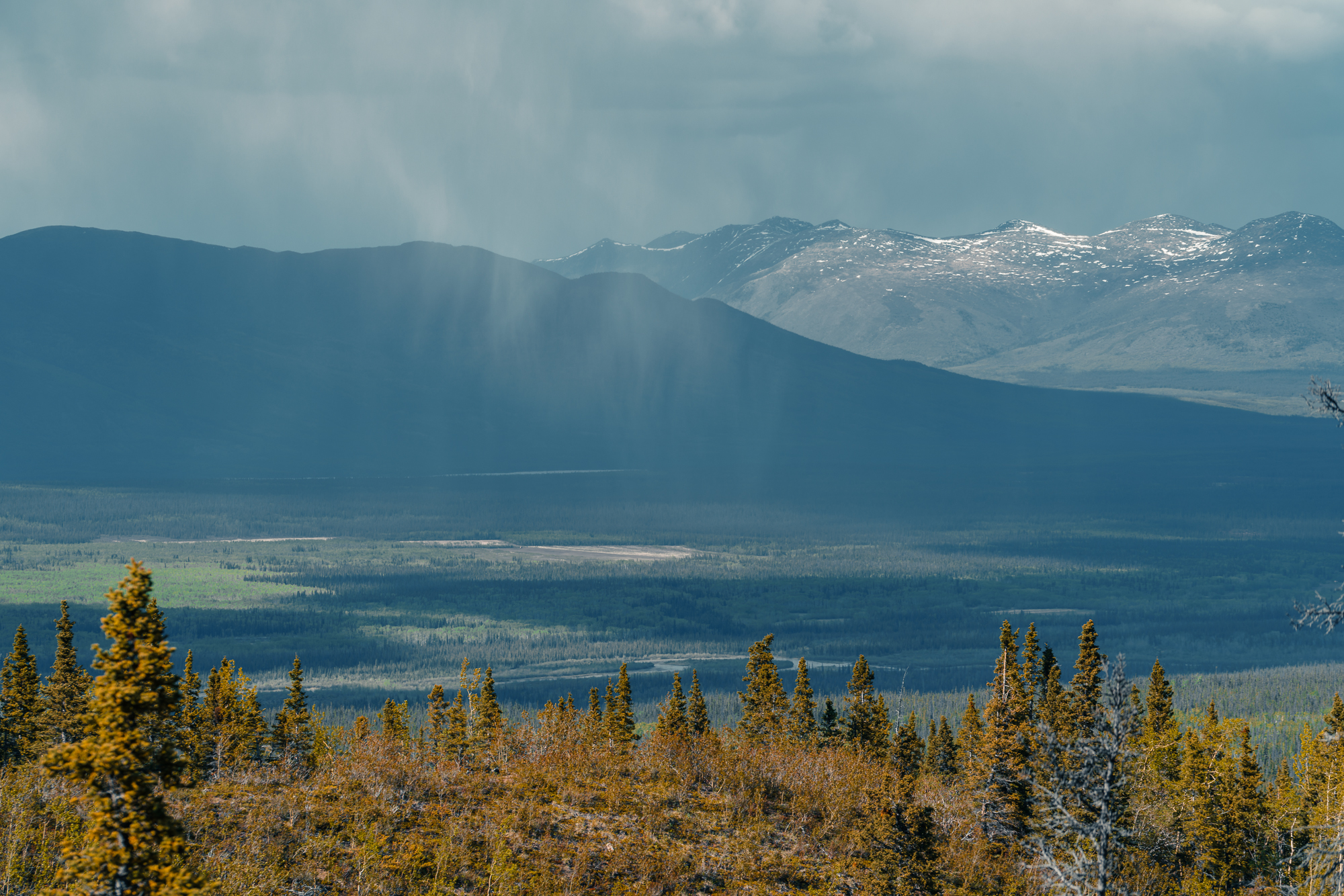
The trail to the left starts in the thick mixed boreal forests, crosses a shallow creek twice at about the 3 km and 3.5 km points. Then, it enters the open meadows. At the highest point of the loop, we have found ourselves in a beautiful sub-alpine area where we have spotted some of the mountain peaks of the alpine Auriol Range. The Auriol Range is 2033 m high at the highest point, which is comparatively low as the highest mountain of Canada lies within the Kluane National Park: Mount Logan is 5959 m high, but can only really be reached by plane.
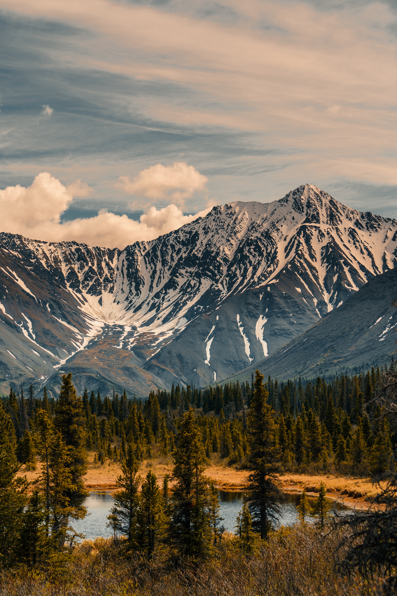
At the 7.3 km mark, a primitive campsite is located. On the way back to the trailhead we again wandered through grassland and brushwood, always searching for moose, which love these younger boreal forests. (Unfortunately, we did not see any this time). In the last third of the trail, we again were surrounded by spruce forest and rewarded with some beautiful viewpoints over the valley, that was created long ago by glaciers.
Our Recommendations
- Speak to the rangers before your hike, it’s always good to know the current conditions of the trail as well as the wildlife situation.
- Don’t bring too much food or water with you, the trail is easy to hike and does not need a lot of physical effort.
- Do not camp on this trail, as it is rather short. You’d rather choose another, longer hike for a camping adventure. Only exception: You are not used to camp in bear country and want to try how it feels. Then, this trail would be a decent start.
- If you do stay overnight, approved bear resistant food canisters are mandatory and a wilderness permit is required. Both can be obtained from the Kluane National Park and Reserve Visitor Centre in Haines Junction. (https://www.pc.gc.ca/en/pn-np/yt/kluane/visit/ins-reg)
- Watch for bear and moose drops and other signs of wildlife along the trail, stay alert and talk loudly. Like that, you minimize the risk of a dangerous wildlife encounter.
- Enjoy the scenery!
Our Trek Rating and Résumé
- Technical difficulty: 3/10
- Necessary fitness: 4/10
- Scenery: 7/10
- Wildlife: 5/10
- Fun: 6/10
Read about the Sheep Creek Trail in Kluane Nationalpark here.